Drone-based RF Interference Hunting System Helps Meteorological Radar Station Locate Radio Interference
Project Introduction
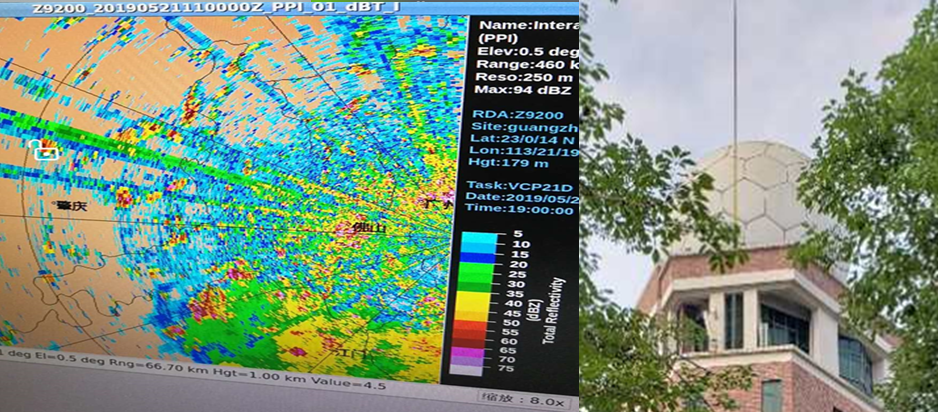
Echo pictures, graphs and data of weather phenomena acquired by radar detection are important basis for short-term (0-72 hours) and very short-term (0-12 hours) weather forecasts, especially precipitation forecast, and they are the major tools for near (0-2 hours) weather forecast service. A meteorological bureau found that its radar cloud image was affected by ray-shaped interference from time to time in directions of 350° and 280-300°, which seriously deteriorate the normal service operation.
Project Achievement
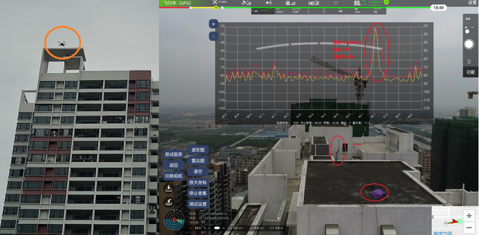
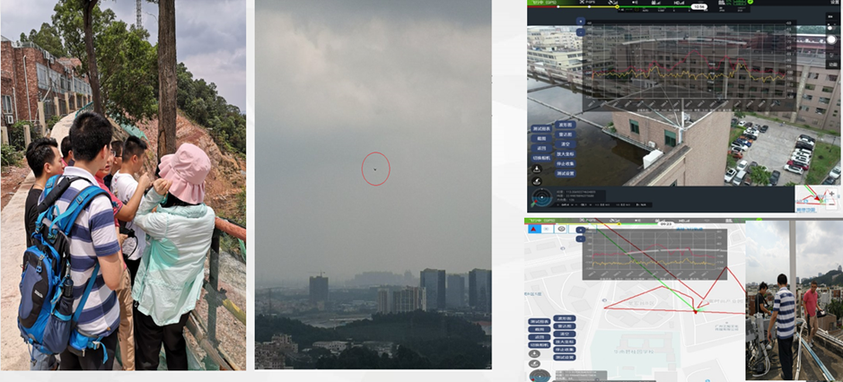
Hocell Drone-based RF Interference Hunting System was applied to do clear frequency test within 2km, and a weak stray interference source was detected and located 600m away. Pictures were taken by the drone as evidence.
The interfering signal was from ATC (Air Traffic Control) radar, with a frequency difference of 5MHz and power of -41dBm when reaching the weather radar antenna. The test showed that it could pass the filter of weather radar.